
Welcome to Longtown Ward
Longtown Ward is one of 46 wards which make up Cumberland Council.
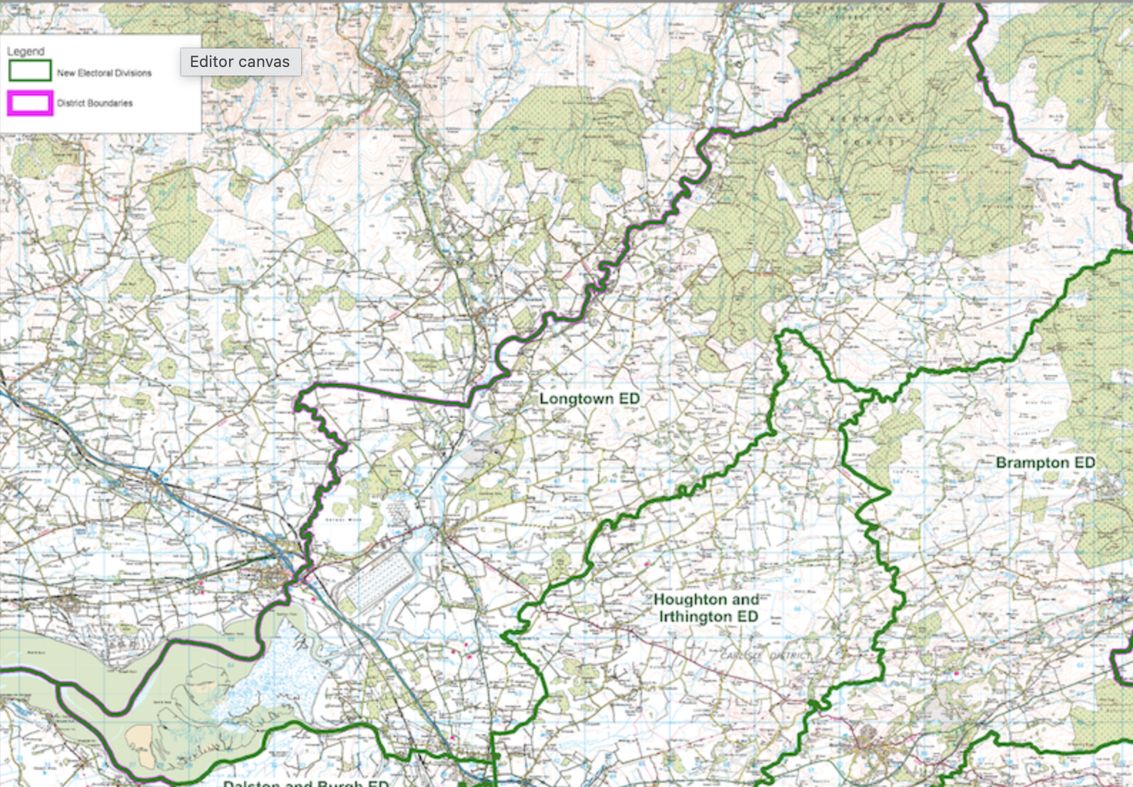
The ward is the most northerly ward in North West England. It stretches right along the border with Scotland from the the Solway Firth to the edge of Kielder Forest. It is made up of the seven parishes of Arthuret, Bewcastle, Kirkandrews on Esk, Nicholforest, Rockcliffe, Solport and Westlinton.
Just over 5,000 people live in Longtown Ward. We have eight churches, five schools, five pubs and many more great local businesses. At 130 square miles we’re one of the largest wards in England, with the bulk of the land used for farming (mostly livestock). The western end of the ward, around Rockcliffe, is part of the Solway Coast Natural Landscape. To the east Kershope Forest is part of the large area of managed forestry which continues into Northumberland.
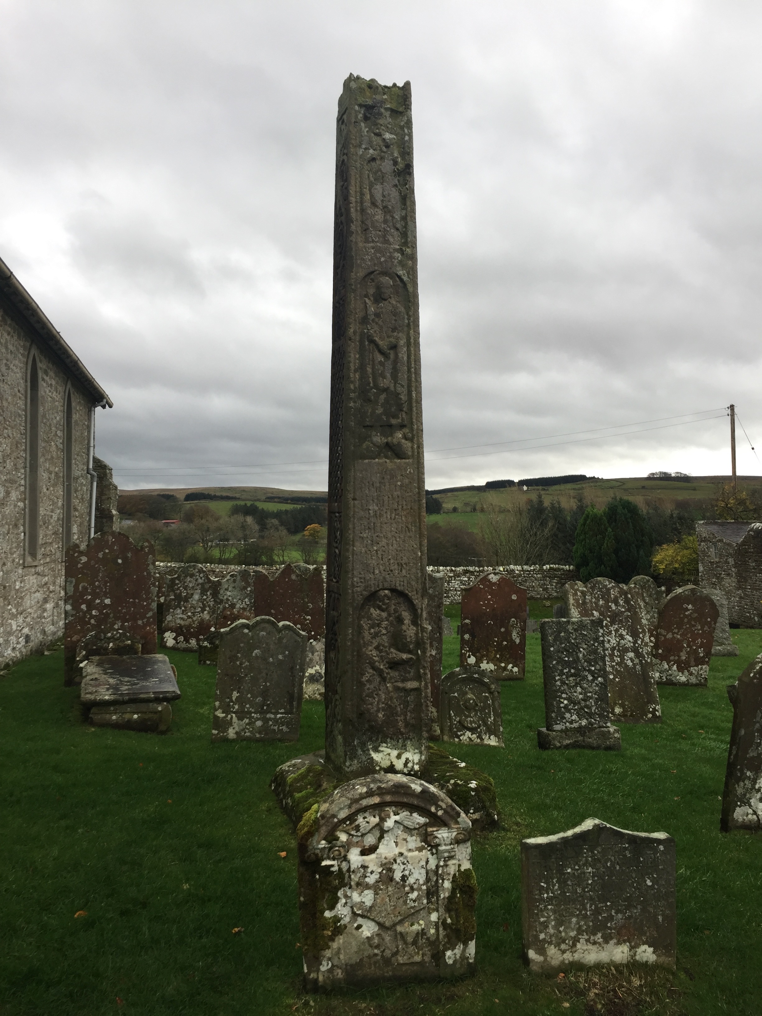
Because of our border location the area is steeped in history. The Romans built defensive forts north of Hadrian’s Wall at what is now Netherby Hall and at Bewcastle. The Bewcastle Cross is an 8th Century Anglo-Saxon cross, still in its original position.
In 1771 a rare peat bog eruption took place on Solway Moss, destroying many local farmsteads in the area which is now to the north of Longtown.
Our border position means meant the area has always been a key transport route to/from Scotland, but also the site of many conflicts. The battle of Solway Moss, between England and Scotland, took place just south of Longtown in 1542. Border reivers were active on both sides of the border from the middle ages and parts of the ward were in the the “debatable lands” between England and Scotland. Reiver surnames, from both sides of the border, are still prevalent today.
In the First World War the vast Gretna munitions factory reached Mossband, just outside Longtown; in the Second, Longtown became home to one of the country’s three Central Ammunition Depots — a site still in active use by the MoD today.
The M6 and the west coast main line pass through the ward. The borders railway, or ‘Waverley Line’ linked Carlisle to Edinburgh until its closure in 1969 with stations in our area at Harker, Longtown, Riddings, Penton, ‘Nook pasture’ and Kershopefoot. There is an active campaign to re-open the railway through Longtown towards Hawick and Edinburgh.
Local information
Cumberland Council
0300 373 3730
Highways hotline: 0300 373 3736
Website: cumberland.gov.uk

